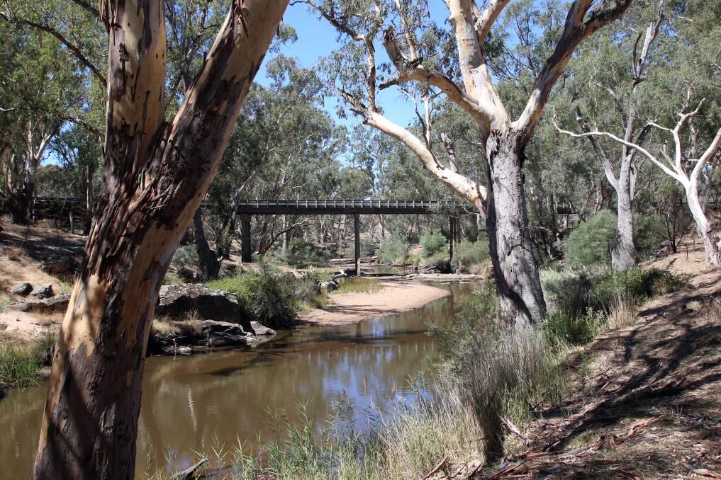
The region's catchment management authority is working with councils to better understand flood risk in small towns where such information is lacking.
Subscribe now for unlimited access.
$0/
(min cost $0)
or signup to continue reading
The 21 towns were identified through the North Central Regional Floodplain Management Strategy 2018-2028 as having had no flood study before, no flooding planning controls or intelligence, or having planning overlays not reflective of the area's topography.
James Shaddick, from the North Central Catchment Management Authority, said the lack of information meant there was limited ability to ensure future development in these areas was done with consideration of flood risk.
"On top of that, the lack of flood intelligence can hinder the response of communities and emergency services to floods in these towns," Mr Shaddick said.
"There is uncertainty as to the potential risk to each community and the level of response that may be required."
Mr Shaddick said the gaps in information came about because these areas were previously considered as being of low risk, and after the 2011 floods, resources were focused on the most hard-hit areas.
They needed to test these previous assumptions, he said, due to such factors as changing demographics, changing land use and increased development in these areas.
These areas are in eight municipalities and are Mandurang, Lockwood, Redesdale, Guildford, Metcalfe, Tooborac, Moliagul, Bet Bet, Bealiba, Talbot, Timor-Bowenvale, Korong Vale, Malmsbury, Lauriston, Tylden, Daylesford, Hepburn Springs, Smeaton, Coomoora, Newlyn North and Marnoo.
A rapid assessment methodology which involves computer modelling will be applied to these towns to determine their flood risk and where further assessment might be needed.
Mr Shaddick said the information would also help councils with planning and land use decisions, the community better prepare for flooding, and emergency services to direct their resources.
"We're quite excited with this new methodology, and really glad we can improve the knowledge base for these communities and make them safer into the future," he said.
Anyone with flood information or photos of the listed towns is encouraged to contact the project manager Nathan Treloar on 5440 1878.
The project is due to be finished by February next year.
It was funded through the state government's Natural Disaster Resilience Grants Scheme and is being delivered as part of the Victorian Floodplain Management Strategy, which aims to better prepare the state for severe flooding.
Have you signed up to the Bendigo Advertiser's daily newsletter and breaking news emails? You can register below and make sure you are up to date with everything that's happening in central Victoria.

