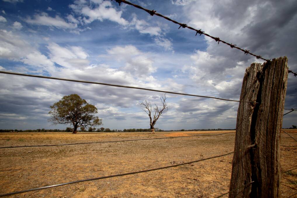
The first three months of 2019 look set to be warmer than average for much of central Victoria, the latest climate outlook suggests.
Subscribe now for unlimited access.
or signup to continue reading
The Bureau of Meteorology climate outlook shows the chance of Bendigo’s average maximum temperature from January to March exceeding the long-term median is 81 per cent.
Bendigo’s median temperature for those months is 28.2 degrees.
Castlemaine, Maryborough and Kyneton face similar odds, while the likelihood of the three-monthly maximum at Echuca rising above the long-term median is at 78 per cent.
Average overnight temperatures are also likely to be warmer than the long-term medians across the region.
Bureau of Meteorology climatologist Felicity Gamble said cooler than average waters in the Indian Ocean, particularly off the north-west coast of Australia, meant there was less moisture in the atmosphere.
She said this resulted less cloud cover, and subsequently, warmer temperatures.
The expected warmer temperatures were not welcome for many parts, Ms Gamble said, as they led to greater moisture evaporation and stress on land and plants.
She said the Australian climate was also influenced by global warming, which meant a tendency towards warmer temperatures.
More rain than usual is not likely, with Bendigo’s likelihood of receiving more than its median for the three months rated at 42 per cent.
Bendigo, which has a median rainfall of 83 millimetres for the time of year, has a 75 per cent chance of receiving between 50 and 100 millimetres.
It is even more unlikely that Maryborough will see above-average rain, where there is a 75 per cent chance the town will receive between 25 and 50 millimetres in the first few months of the year – below its median of 85 millimetres.
Castlemaine is most likely to see between 50 and 100 millimetres of rain, but its median is 111 millimetres.
Kyneton, too, has a 75 per cent chance of between 50 and 100 millimetres. Its median rainfall is 127 millimetres.
But Ms Gamble said the climate models’ forecasts could not rule out some good rainfall for the region over the coming months.
The models indicated a “weakish signal” towards a drier period, she said, but there was no strong suggestion of that.
Ms Gamble said there had been a borderline El Niño event for the past two months, but while there were warmer than average temperatures in the tropical Pacific Ocean, atmospheric conditions had not yet tipped over into such an event.
However, such an event was possible later in the year, she said.
An El Niño event can result in warmer temperatures, drier conditions, and heightened fire danger in south-east Australia.
Have you signed up to the Bendigo Advertiser's daily newsletter and breaking news emails? You can register below and make sure you are up to date with everything that's happening in central Victoria.


