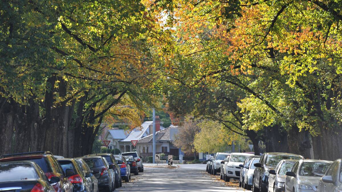
CENTRAL Victorian gardeners could soon have access to information to help them plant trees which will thrive even in a hotter, drier future climate.
Subscribe now for unlimited access.
$0/
(min cost $0)
or signup to continue reading
It's one part of a project to help central Victorian councils reduce their vulnerability to heat as the Loddon Mallee faces a likely rise in temperature of at least 1.2-2.0 degrees by 2070.
A new database will model the needs such as water of councils' existing tree lists and of varieties not yet used in the area, to identify which trees will be resilient to changes in climate.
The database is part of the second phase of a Central Victorian Greenhouse Alliance project which has already mapped the region to find the places most vulnerable to the effects of heat.
The database will help councils understand which trees will be tolerant to future climate change scenarios, when deciding which trees to plant where.
CVGA executive officer Rob Law said it was important for councils to be able to place trees where they would be most effective to help people's health.
Mr Law said the database would hopefully be expanded to be useful for anyone's garden guidance, because in 50 years central Victorians would face a vastly different climate.
He said the CVGA hoped to have some of the database outputs available by the planting season and the final list complete by the end of 2020.
"We know that street trees can lead to ten degree reduction in temperatures in a streetscape which is really important for people's health during heatwaves," Mr Law said.
Phase two of the project has been supported by grant from the Department of Environment, Land, Water and Planning.
The grant will also help smaller rural shires plant trees in areas the project has found particular need, such as Wycheproof and Charlton.
About 174 trees will be planted across Central Goldfields, Buloke, Gannawarra, Ararat and the Pyrenees shires.
Stage one of the project found that these smaller shires were particularly vulnerable to increasing daytime heat because many towns had low level of tree canopy cover.
OTHER NEWS:
The Cool It project's first phase identified which areas were likely to experience the worst effects of heat across eight council areas. It used information such as amount of concrete, tree cover, pedestrian activity and social and economic vulnerability to identify these areas.
Mr Law said this mapping was designed to help councils identify priority areas to plant street trees.
The Macedon Ranges, Mount Alexander and Hepburn shire councils will also undertake heap mapping as part of the second phase.
In Bendigo the project's found that Kangaroo Flat and White Hills were among the areas most vulnerable to heat.
Have you signed up to the Bendigo Advertiser's daily newsletter and breaking news emails? You can register below and make sure you are up to date with everything that's happening in central Victoria.


