It's been six months since the height of the 'black summer' bushfire season that saw an estimated 18.6 million hectares burn across Australia.
Subscribe now for unlimited access.
$0/
(min cost $0)
or signup to continue reading
More than 5900 buildings, including 2779 homes, were destroyed and 34 lives were lost in the horror summer that really started in a hot and dry September 2019.
Fires raged into the New Year and not a State was left untouched, until drenching rains came and flooded a lot of the burnt, ashen grounds.
Although the rain presented a whole new threat, it put the dampener on the fires the exhausted fire fighters needed.
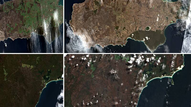
As the communities continue to recover, we thought we'd take a look at how the landscape has recovered.
These satellite images from Google Earth tell the tale of how dry the land was back in January and how green it has become since then.
The scars from the fires are still visible, but the land is regenerating.


